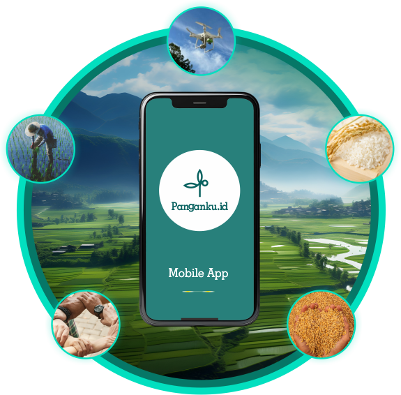
Panganku.id is an application provide digital-based information about Warehouse Management System (WMS) about the field of agriculture.
WMS features include information about WMS Partnerships, WMS Production, WMS Finance, WMS Community, and WMS Digital Agriculture.
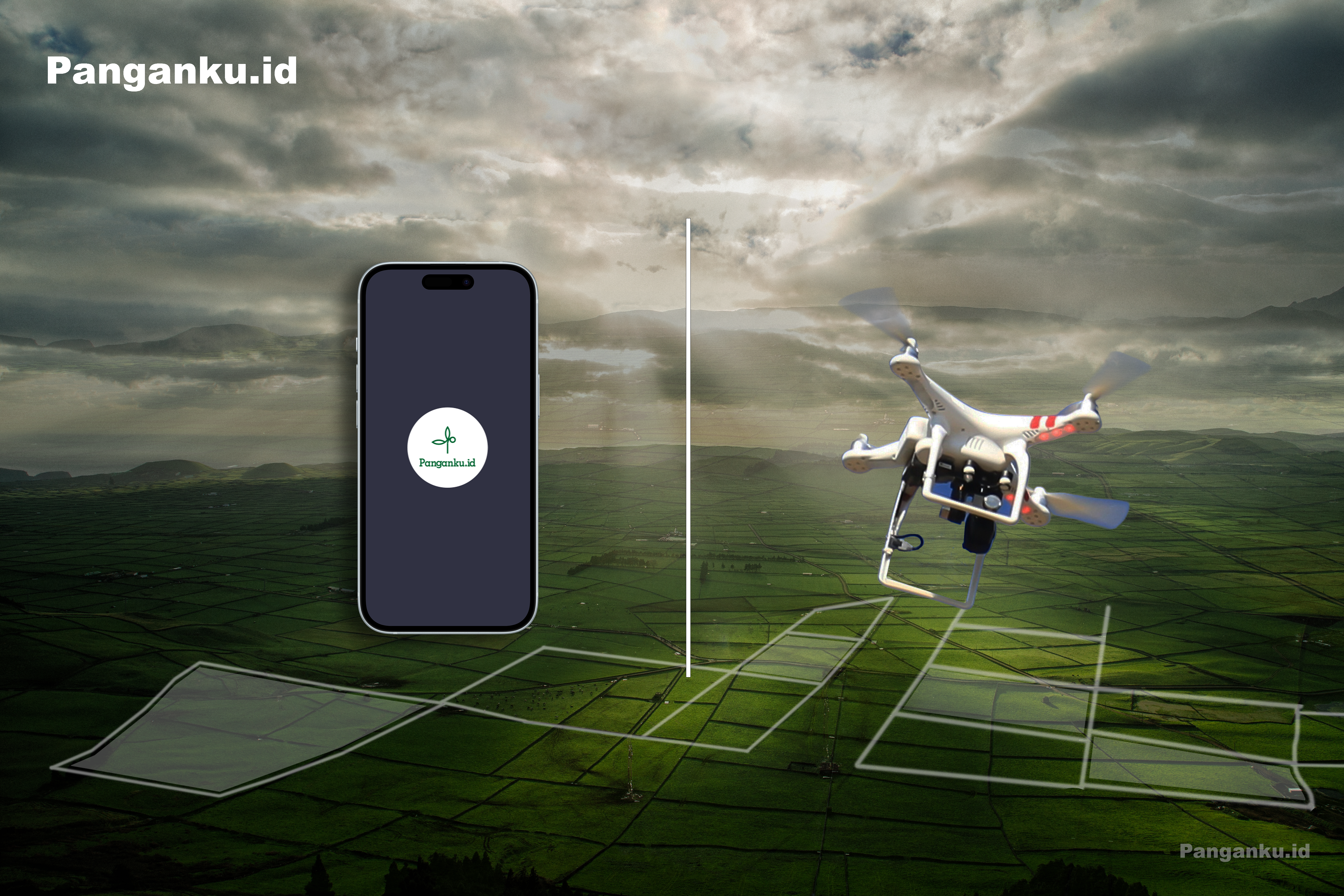
About our Digital Farm
It is a virtual model (Digital Twin) of the affiliated rice fields to obtain information primarily on the health indicator of the fields.
Our partnership with the farmers, will not only be limited in funding relationship, but we will have access to collect and analyze data from their farms (rice fields).
Our key parameters to establish the Digital Farm are:
Drone implementation for survey and mapping
Image processing and digital twin generation
IoT integrated system for continuous monitoring.
Digital Farm Process
1-2 Years
Survey and Mapping
Drones equipped with multispectral or hyperspectral cameras suitable for agricultural analysis to capture detailed imagery of rice fields.
The flight plan should cover the entire rice field area, ensuring overlapping images for accurate mapping and data collection.
Data collection based on image capture of the rice fields to gather data on crop health parameters.
Data Processing and Analysis
Utilization of image processing to generate high-resolution maps and orthomosaic images of the rice fields.
Data analysis to assess crop health indicators such as NDVI (Normalized Difference Vegetation Index), water stress levels and diseases.
2-5 Years
Digital Twin Creation
Model generation of the rice field using the processed data to replicate the real-world rice field environment in a virtual space.
Incorporate various parameters into the digital twin model, including soil conditions, irrigation systems, and weather data, to create a comprehensive simulation.
Implementation and Monitoring
Deploy sensors and IoT devices in the rice fields to collect continuous data on temperature, humidity, and soil conditions.
Integrate real-time data with the digital twin to update and refine simulations and predictions.
5-10+ Years
Long Term Strategy
Increase scalability of the drone mapping and digital twin technology to cover larger agricultural areas or multiple farms, ensuring widespread adoption and impact.
Provide education and training for farmers and other stakeholders on utilizing drone and digital twin technologies effectively.
Continuous improvement on the digital twin model with new data and insights to improve accuracy and relevance.
Regulatory and Environmental Considerations
Ensure compliance with local regulations regarding drone usage and data privacy concerns.
Monitor and minimize environmental impact through sustainable farming practices supported by data-driven insights.
Benefits and Applications
Enable precision farming practices by providing farmers with accurate insights into crop health and growth stages, allowing targeted interventions.
Optimize resource usage such as water and fertilizers based on real-time and predictive data from the digital twin.
Develop a decision support system for farmers, providing actionable insights for enhancing productivity and yield.
By implementing drone mapping services with digital twin enhancement in rice fields, agricultural stakeholders can gain significant advantages in productivity, sustainability, and decision-makingcapabilities.
This approach not only enhances crop management but also contributes to overall agricultural efficiency and profitability.